Mount St. Helens Erupts
Featured image: Before and after images of Mount St. Helens
43 years ago today, May 18th, the volcano under Mount St. Helens erupted for the first time in 100 years. It was the deadliest volcanic event in the lower 48 states. The eruption and ensuing pyroclastic flow caused 57 deaths and more than $3 billion (1980 dollars) in damage.
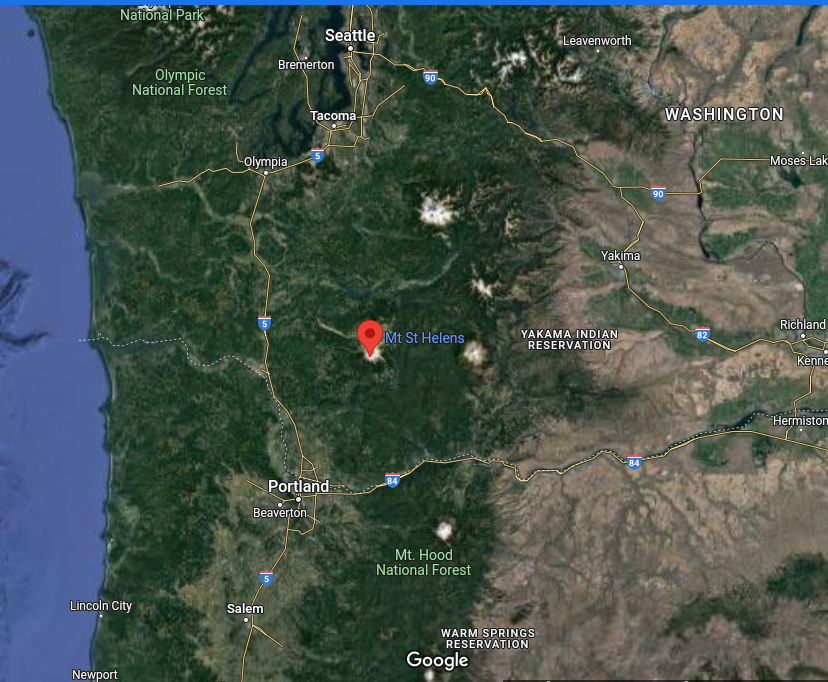
Located in Skamania county Washington, 52 miles northeast of Portland, she had a pre-eruption height of 9,677 ft above sea level. The eruption and subsequent earthquake and landslide reduced that to 8,363 ft.
The first hints the volcano was about to erupt started on 20 March with a 4.2 magnitude earthquake. By the end of April, the north side of the mountain had started to bulge. On May 18, a second earthquake, of magnitude 5.1, triggered a massive collapse of the north face of the mountain. It was the largest known debris avalanche in recorded history. The magma in St. Helens burst forth into a large-scale pyroclastic flow that flattened vegetation and buildings over an area of 230 square miles.
The collapse of the northern flank of St. Helens mixed with ice, snow, and water to create volcanic mudflows. The mud flowed many miles down the Toutle and Cowlitz Rivers, destroying bridges and lumber camps. A total of 3,900,000 cubic yards of material was transported 17 miles (27 km) south into the Columbia River by the mudflows.
For more than nine hours, a vigorous plume of ash erupted, eventually reaching 12 to 16 miles above sea level. The plume moved eastward at an average speed of 60 miles per hour with ash reaching Idaho by noon. Ashes from the eruption were found on top of cars and roofs the next morning as far away as Edmonton, Alberta, Canada.
The eruption killed 57 people, nearly 7,000 big-game animals (deer, elk, and bear), and an estimated 12 million fish from a hatchery. It destroyed or extensively damaged more than 200 homes, 185 miles of highway, and 15 miles of railways.
Mount St. Helens will erupt again, the question is when and how big. The current configuration of lava domes in the crater means that much more pressure will be required for the next eruption, and hence the level of destruction will be higher. Significant ashfall may spread over 40,000 square miles, disrupting transportation. A large lahar (volcanic mud) flow is likely on branches of the Toutle River, possibly causing destruction in inhabited areas along the I-5 corridor.