The Map Makers
From the myriad of rude maps and recollections of geographic features and locations amid the tales of the mountain men, the next group would advance. They would sort, collate and correct the mistakes in location with scientific precision while naming many of the features of the land; enter “The Map Makers”.
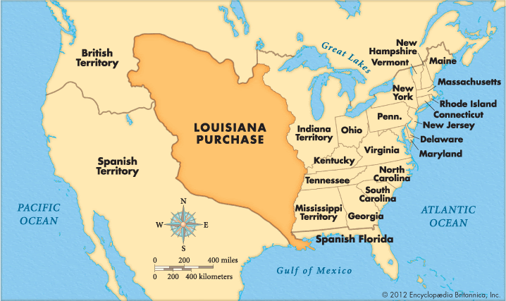
The surprise purchase of Louisiana in 1803 that doubled the land mass of the United States created the need to know what that purchased entailed; President Jefferson would put five expeditions to that task.

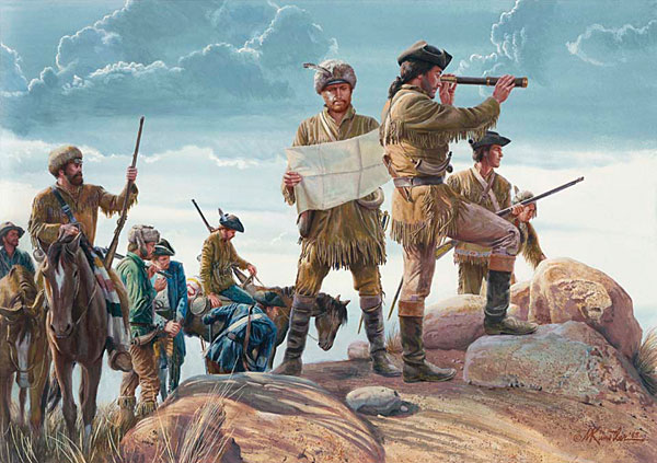
The Louisiana Purchase and its promise of a water route to the west coast would spur the Lewis and Clark Expedition of 1804-1806.
In an effort to learn more of the huge purchase Jefferson dispatched astronomer and naturalist John Dunbar to follow the Red River of Texas to its source in 1804; the expedition would not complete its mission.
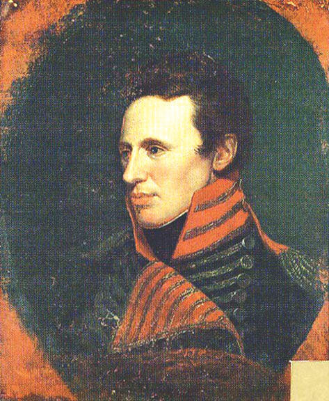
Lieutenant Zebulon Pike headed an expedition to locate the source of the Mississippi (August 9, 1805- April 20, 1806). The Red River Expedition of 1806 under the command of Captain Richard Sparks and astronomer Thomas Freeman would be halted by Spanish troops in late July 1806. Lieutenant Pike would head another expedition to find the head waters of the Arkansas and Red Rivers July 15, 1806; Pike would be arrested by Spanish officials detained and released to US officials at Natchitoches, Louisiana July 1, 1807.

President James Monroe would continue this pattern of exploration:
Major Stephen Harriman Long explored parts of the upper Mississippi; selecting sites for Fort Smith on the Arkansas River and Fort St. Anthony at the confluence of the Mississippi and Minnesota Rivers in 1817.
Colonel Henry Atkinson and Major Stephen H. Long began the operation termed the Yellowstone Expedition August 13, 1819 tasked with mapping the uncharted lands between the Mississippi and the Rocky Mountains. Financial difficulties doomed the expedition; it was abandoned by June 1820.
General Henry Atkinson led a second expedition to the Yellowstone country in 1825.
July 4, 1832 marked the beginning of the United States Army Corps of Topographical Engineers. In the years before the Civil War the Corps’ officers using the latest technology mapped the west, inventoried its assets and laid out the nation’s borders. Of the Corps William Goetzmann wrote: …”the Corps of Topographical Engineers was a central institution of Manifest Destiny”.

Related: Of Mountain Men and Map Makers PT 5
Many were graduates of West Point with a degree in engineering who would rub shoulders with other learned men. Men of many and varied disciplines, botany, geology and astronomy; as such they were advocates of scientific journals and staunch supporters of the Smithsonian Institute.

