Editors note: This is the last part of this series, you can find the rest of the series here: Pt 1, Pt 2, Pt 3, Pt 4, Pt 5, Pt 6
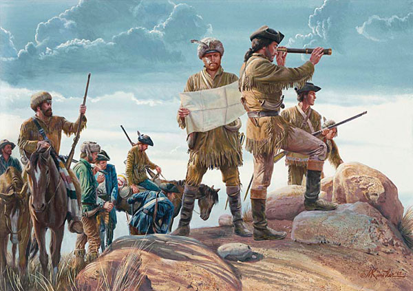
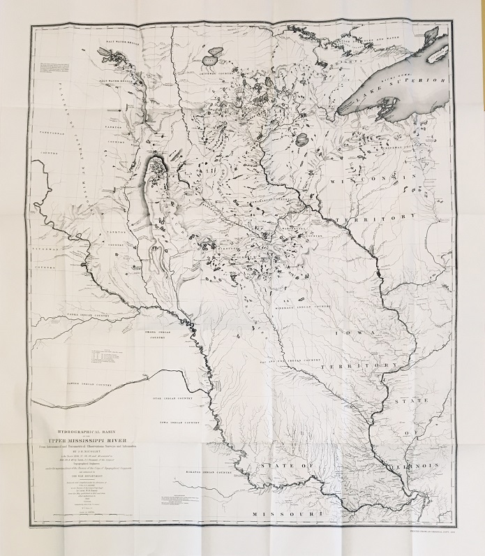
In an unintended action, a mapping error by Zebulon Pike was discovered by Joseph Nicolas Nicollet that would spur the fledgling Corps to begin a series of extensive, high profile mapping and scientific expeditions to explore and inventory the geography, geology, flora and fauna of what would become the western United States.
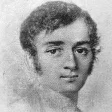
In the first major move to correct the mapping error, the Corps would hire Nicollet and assigned Lt. John Charles Fremont as his assistant. Nicollet would head a mapping expedition in 1838 to correct the maps between the Mississippi and the Missouri Rivers; Fremont would finish the survey as Nicollet’s health forced him to leave the field before the mission was complete.
Major James D. Graham would conduct a border survey of the Republic of Texas over a two year period (1841-1842).
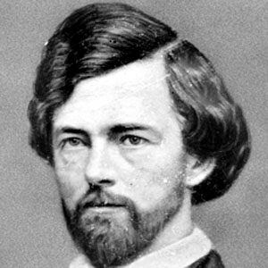
John Fremont was appointed leader of the 1842 expedition to map the country between the Mississippi and the Rocky Mountains paying particular attention to what would became the Oregon Trail to South Pass.
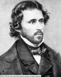
Fremont would return to the field in 1843 to complete the mapping of the Oregon Trail (with a side trip to the Great Salt Lake) to its terminus at The Dalles. Turning south they flanked the Cascade and Sierra Nevada Mountains. Fremont decided to cross the Central Sierras to reach Sutter’s Fort in Alta California. After resupplying Fremont led his men south to a junction with the “Spanish Trail that ran between Los Angeles and Santa Fe.
Turning east across the Great Basin following Jed Smith’s route to South Pass, Fremont determined the basin was “endorheic”, meaning that the basin was and locked with no outlet the world’s oceans. He was able to disprove the myth of the Buenaventura River, returning to St. Louis in August 1844. June 1st 1845 and Fremont is headed west again, become embroiled in the Bear Flag Revolt, be appointed Military governor of California and return to the United States only to be tried for insubordination and pardoned by President Polk.
The Corps would conduct a Boundary survey of the border between the United States and Canada led by (Major?)William H. Emory 1844-1846.
In August 1845 Lieutenants James Abert and William Peck are dispatched to survey and map the watershed of Purgatory Creek and the Canadian River in present day Colorado and New Mexico.
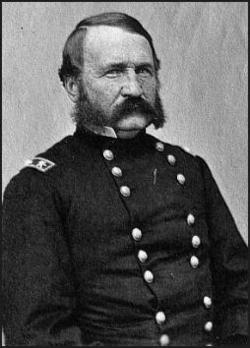
Lt. Colonel William H. Emory would return to the field as Brigadier General Stephen Kearny’s cartographer as Kearny invaded New Mexico and California in 1846; it was Emory’s journal (Notes of a Military Reconnaissance from Fort Leavenworth to San Diego) that became a guide book for travelers to southern California. Emory would be deeply involved in the US/Mexico Boundary Surveys conducted between 1848 and 1855.
Beginning in 1849 Lt. Howard Stansbury would lead a two-year evaluation and survey of the Great Salt Lake and surrounding areas while examining the condition of the Oregon and Mormon trails.
September 4, 1851 Brevet Captain Lorenzo Sitgreaves began the first systematic survey of the northern Territory of New Mexico from the Zuni Pueblo to the Yuma Crossing of the Colorado River arriving the crossing November 30, 1851.
Also by Walt Mow: America’s Youth, its past and its future…
The Corps would take a very active role in conducting Trans-Continental Rail Road surveys beginning in 1853 with the Northern Pacific Survey.
President Franklin Pierce would appoint Isaac Stevens Governor to Washington Territory March 17, 1853.
A route for a northern trans-continental railroad was planned from St. Paul, Minnesota to Puget Sound. Stevens, as a civil engineer, assigned himself the task of surveying the eastern end of the route to Puget Sound. Stevens and his party began surveying the route west as Captain George McClellan’s party surveyed a route east from Puget Sound, the two parties conducting their surveys between the 47th and 49th parallels would meet September 8, 1853.